Orlando’s Construction Documentation Experts
Transforming Construction Projects with Precision Aerial Intelligence
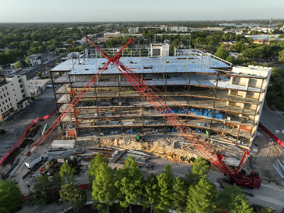
Orlando construction documentation is what we specialize in at Skyland Pixels. We deliver comprehensive aerial intelligence and visual records for construction projects throughout Orlando, Florida. Our advanced technology equips contractors, developers, and engineers with the critical insights needed to optimize project efficiency, ensure quality control, and generate precise documentation from groundbreaking to completion.
Trusted By Partners & Clients
We proudly support organizations who value precision, innovation, and professional insight.
Commercial Construction & Development
Aerial visuals that support planning, progress tracking, bids, and inspections.
Residential Communities & Custom Homes
Accurate maps and media for builders, developers, and marketing teams.
Infrastructure & Municipal Projects
Topographic maps and models that aid in permitting, planning, and design.
Industrial & Manufacturing Facilities
High-res overviews for inspections, logistics, and ongoing site evaluation.
Engineering & Surveying Firms
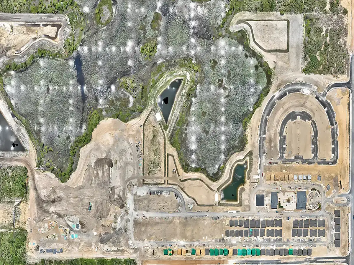
Orthomosaics, contours, and models to enhance precision and cut field time.
Insurance & Legal Documentation
Visual documentation for claims, disputes, and pre/post-event analysis.
What we do
Aerial Services Built for Your Jobsite
From maps and models to high-resolution imagery, Skyland Pixels delivers the jobsite documentation professionals depend on-fast, accurate, and tailored to your workflow.
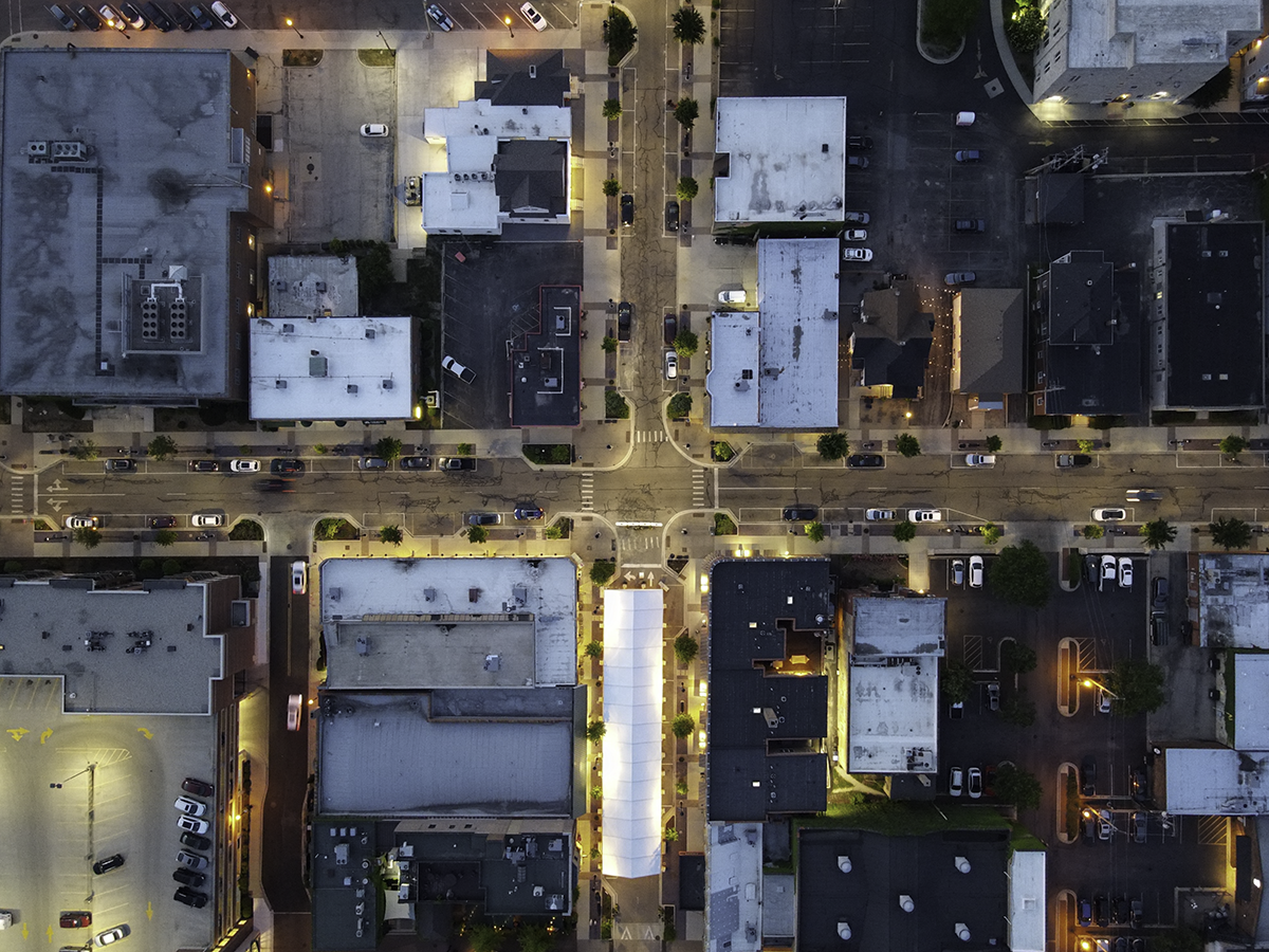
Inspection Services
Roof to infrastructure inspections get clear aerial visuals for assessments, insurance documentation, and emergency situations with minimal disruption.
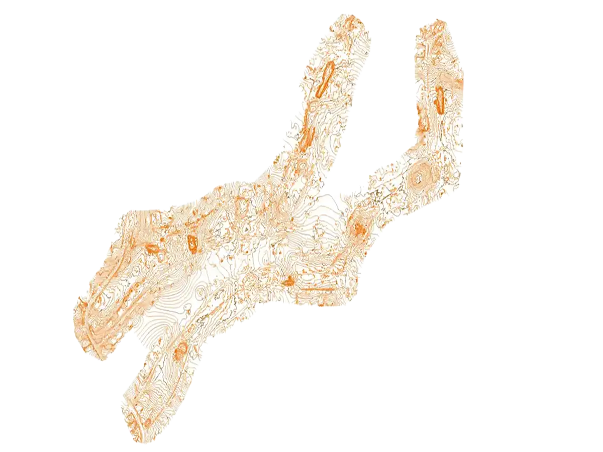
Survey Support
Enhance traditional surveys with high-resolution aerial data for layouts, topographic maps, compliance zones, and volumetric analysis.
Service Central Florida’s Construction Community
Skyland Pixels proudly serves contractors, developers, and engineering firms throughout Central Florida. Our local expertise and rapid response capabilities ensure your projects receive the attention and precision they deserve, regardless of location or complexity.
Primary Service Area
- Orlando
- Kissimmee
- Apopka
- Winter Gardens
- Winter Park
- Clermont
Extended Service Area
- Daytona Beach
- Leesburg
- Eustis
- Deltona
- Sanford
- Altamonte Springs
- Mount Dora
working with us
why choose us
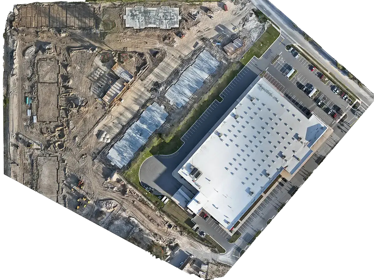
Precision & Accuracy
Our aerial mapping technology and quality control processes deliver exact measurements, Orthophotos, and DSMs ensuring data you can trust for construction decision-making.
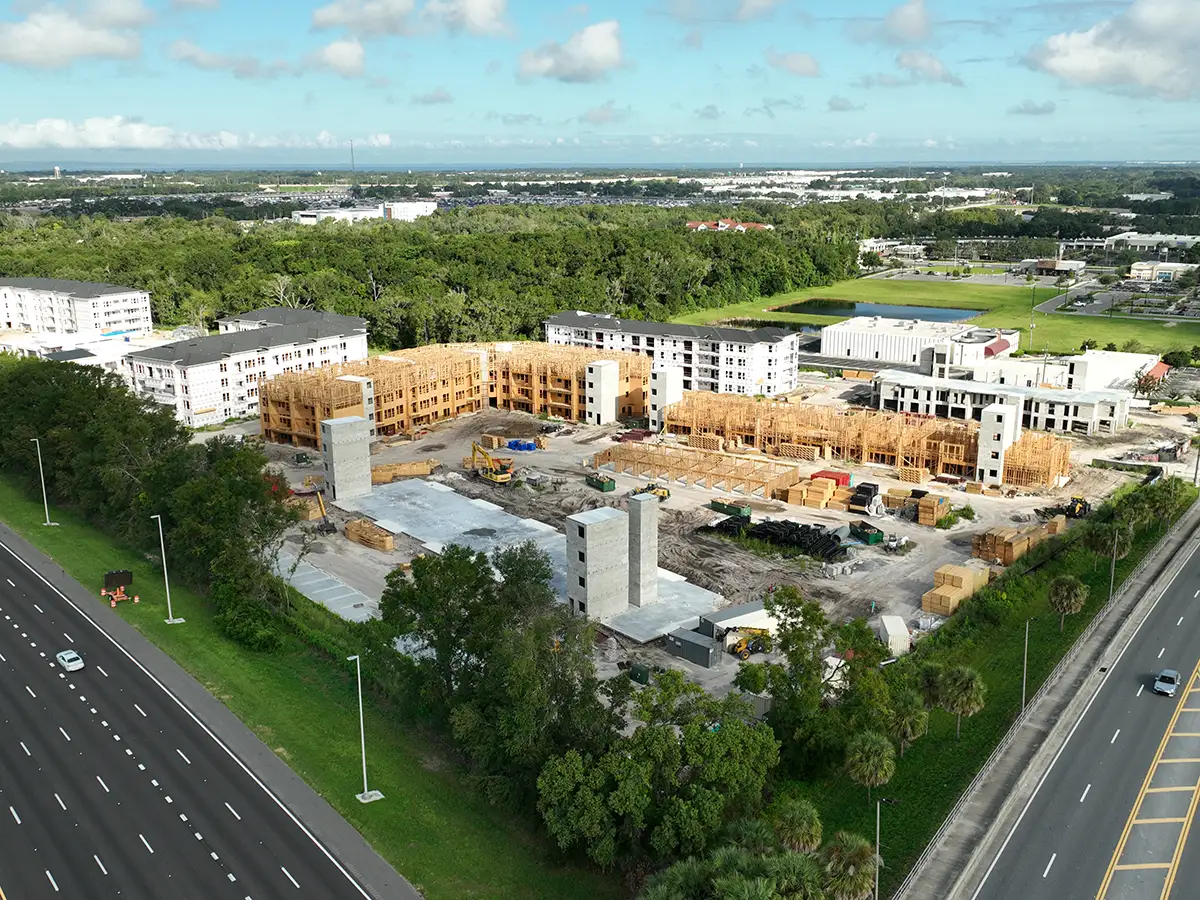
Local Expertise
We understand Central Florida’s construction environment and permitting challenges bringing real, location-specific insights to every jobsite survey.
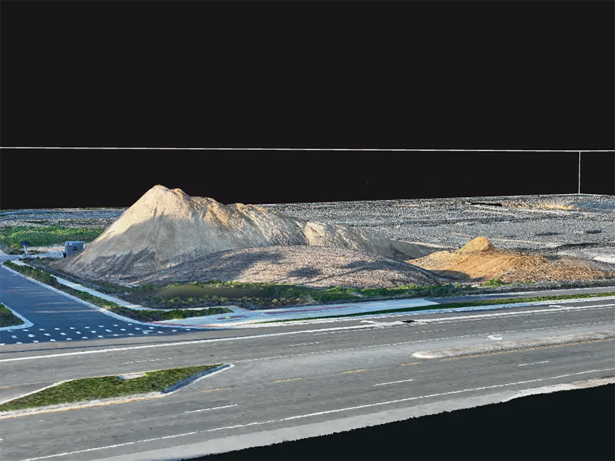
Rapid Response
Fast jobsite mapping and 3D modeling our Orlando-based team deploys quickly to capture progress visuals and inspection data on your schedule.
Comprehensive Reporting
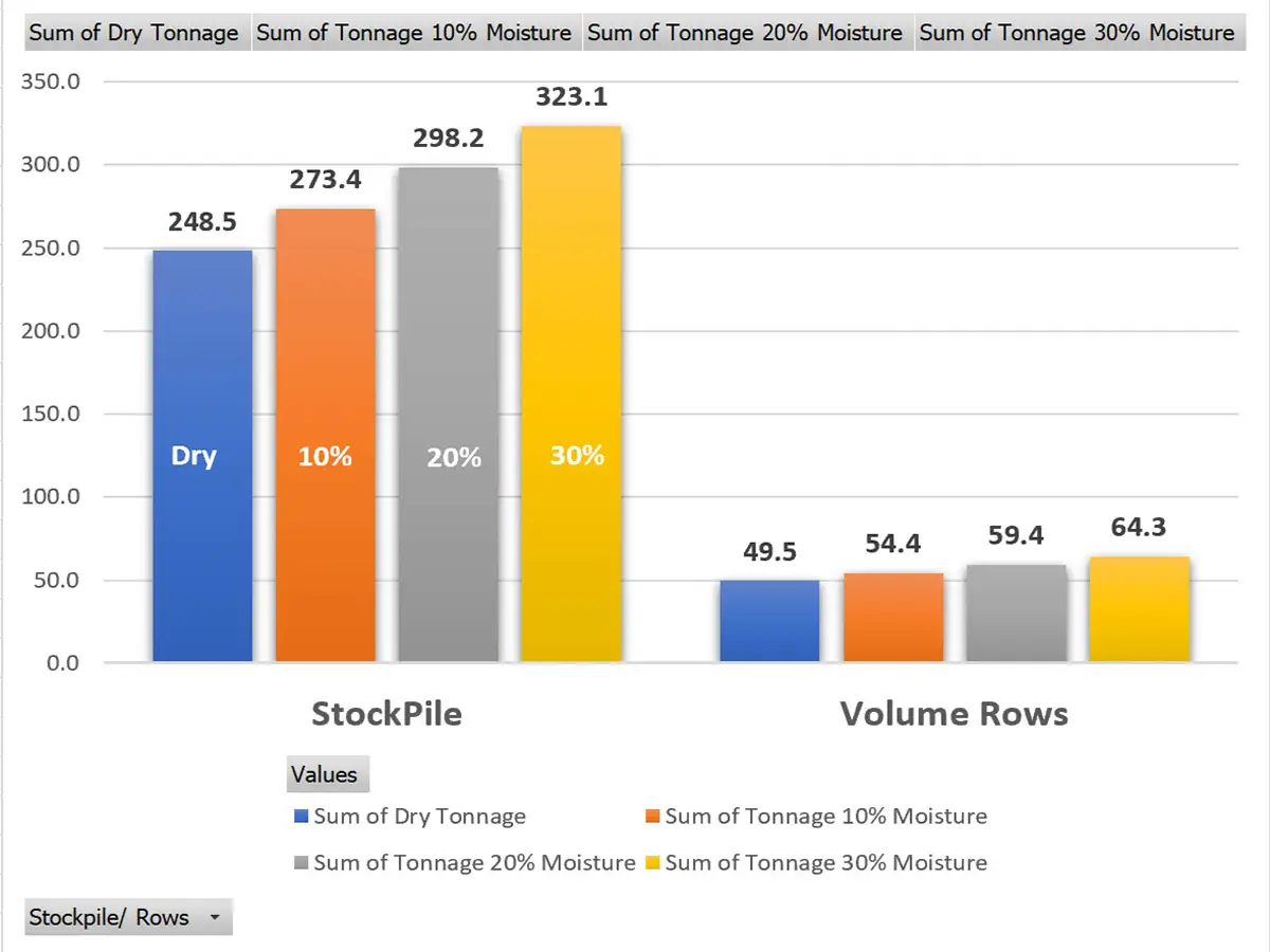
Every service includes actionable reports: DSM/DTM maps, volumetric analysis, and high resolution documentation tailored for your team.
FAQs About Our Services
How We Work
From Planning to Delivery, We Make It Simple
Our four-step process ensures your aerial data arrives on time, meets your goals, and integrates smoothly into your team’s existing workflow.
Consult & Plan
We start by understanding your project needs, timelines, and deliverables. From permits to planning, we ensure you’re covered from day one.
Capture & Analyze
Our FAA-certified team deploys advanced aerial tools to capture precise, geo-tagged site data safely and efficiently.
Process & Deliver
We turn raw data into actionable deliverables – Orthomosaics, DSMs, 3D models, inspections, and more – tailored to your workflow.
Support & Update
We don’t just deliver files we stay engaged. Need phased updates? Reporting help? We’re your aerial data partner from start to finish.
About us
Precision-Driven Aerial Solutions, Rooted in Construction – Ready for Any Industry
At Skyland Pixels, we specialize in high-accuracy aerial mapping, modeling, and documentation built on a deep understanding of Florida’s construction and surveying demands. But we don’t stop there.
From real estate visuals and infrastructure inspections to marketing content and terrain modeling, we help professionals across industries see projects more clearly, act faster, and make data-driven decisions with confidence.
our Clients
client testimonials
Zack Farr
Biotech Applied Research, Central Florida
Peter Morssink
3D Flight Maryland Harford County, MD
Michael Lilly
Wet Dog Drones
Deer Trail, Colorado
INDUSTRY CERTIFICATIONS
Trusted • Certified • Committed to Excellence
We hold industry-recognized certifications that ensure every project meets the highest standards for safety, accuracy, and professionalism.
Get in Touch About Your Next Project
We’re here to answer questions, provide estimates, or talk through how our aerial services can support your team.
